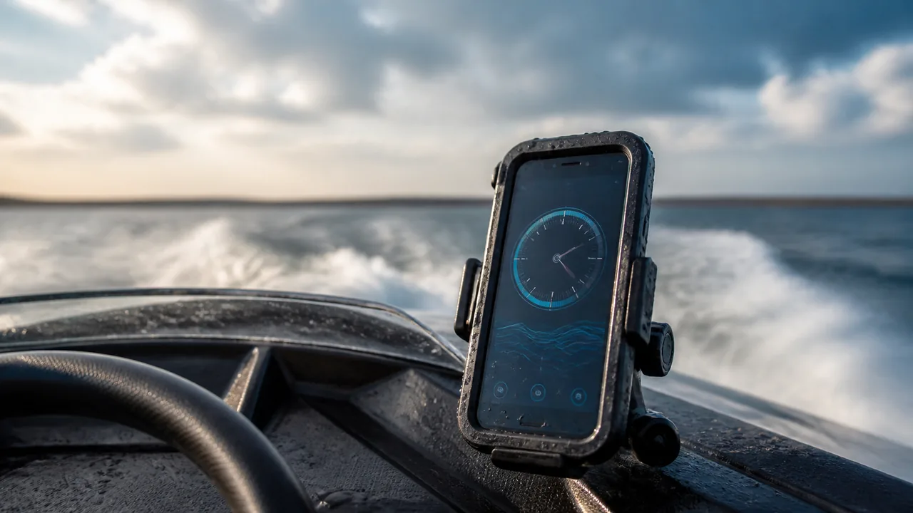
Use the gauge for a supplementary check of how fast your phone is moving with the boat over the ground. Select knots for a nautical speed reading, or km/h or mph for another display unit. This is not speed through the water, a chartplotter or a remote vessel tracker.
Get a usable reading without distracting the helm
Secure the phone before departure and give the person responsible for navigation their full view and attention. Select the unit, press Start and allow location access if you want a measurement. Keep the browser visible and wait for fresh observations. A passenger can manage a brief check; the helmsman should not configure a screen while manoeuvring. A protected, stable position matters more than holding the phone out over the side to chase reception.
Check freshness as well as the number
Under a metal canopy or inside a cabin, the device may have poor or interrupted location data even with mobile reception. Read the status with the gauge. A zero after updates pause is not proof that the boat has stopped. Very slow movement can also be difficult to separate from positioning noise. Look at several ordinary updates in suitable conditions; neither a smooth animation nor a single peak establishes accuracy.
Know which speed you are comparing
The phone observes movement relative to the Earth. A water-speed sensor measures relative to the surrounding water, so current can make the two numbers differ without either being broken. A hypothetical boat doing 6 knots through the water in a 1-knot directly following current makes 7 knots over ground; against the same current it makes 5. That simple addition assumes aligned directions. Cross-current situations cannot be resolved by subtracting two speed magnitudes.
Use knots and read the associated distance labels
One knot equals one nautical mile per hour. A display of 10 knots therefore corresponds to 18.52 km/h, not 10 mph. In this interface, choosing knots also presents session distance in nautical miles and pace in minutes per nautical mile; the labels make that explicit. The boat mode still does not connect to a log, depth sounder, engine sensor or AIS receiver. Use the converter for a written value rather than granting location access just to change units.
Treat the summary as a qualified observation
Stop the session at the end of the segment you meant to observe. Average speed includes elapsed session time; time spent waiting at a berth can lower it, while missing fixes can leave counted distance incomplete. The maximum is the highest accepted session value, not a certified boat performance result. Local summaries are not a complete exportable track or a cloud backup. Note pauses and conditions if you retain a comparison.
Keep navigation and safety decisions on the proper instruments
This page supplies no chart, depth, traffic picture, tide forecast or safe-speed assessment. Do not use its speed alarm as an anchor-drag alarm or infer a safe passage from a low number. Check the display before relying on it away from connectivity; loading a page once does not guarantee continuous screen-off operation or an offline reload. Retain suitable navigation equipment, the current local information and a proper lookout regardless of the phone reading.
| Condition or factor | What it means |
|---|---|
| Current boat motion | Use a fresh over-ground observation and the printed unit. |
| Water-speed instrument differs | Check measurement reference, timing and current before assuming a fault. |
| Zero or stale warning | Current speed may be unavailable; this is not an anchor-watch function. |
| Trip planning or hazards | Use navigation information and equipment, not this gauge alone. |
Technical references: NOAA: nautical mile and knot; W3C: device location observations.
Before relying on a boat-speed reading
Does this measure another boat passing me?
No. It follows the device that has granted location access, not an external vessel.
Can I use it on a ferry or kayak?
The measurement principle is the same, but keep the device secure and do not compromise balance, paddling or attention. Reception still determines usefulness.
Why is speed nonzero while drifting?
A drifting boat can move over the ground even without propulsion. A small isolated value can also be positioning noise; this tool cannot identify the cause by speed alone.
What changes when I select knots?
Current, maximum and average speed use knots; distance uses nautical miles and pace uses minutes per nautical mile. Always read the printed labels.
Can this replace a broken marine instrument?
It can provide an additional observation when conditions permit, but it is not a certified replacement for navigation or safety equipment.